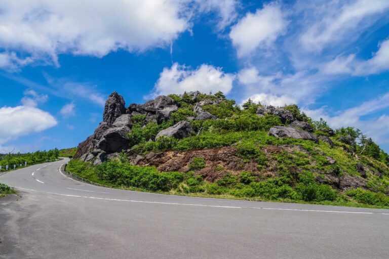
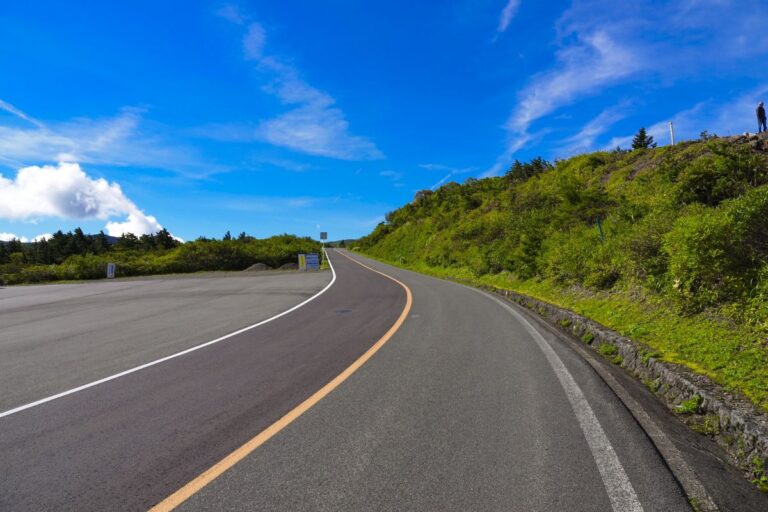
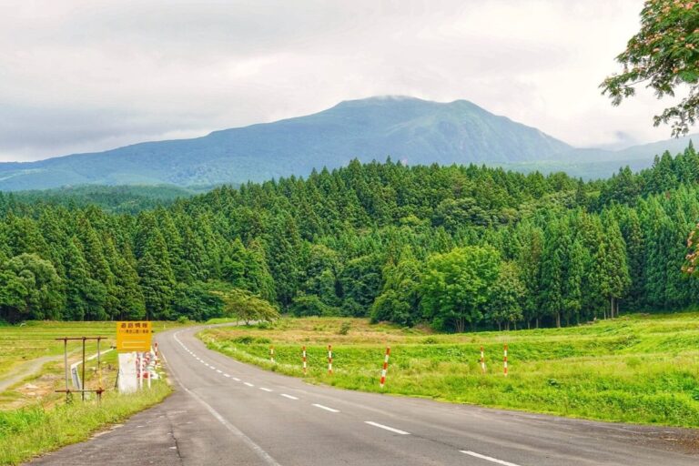
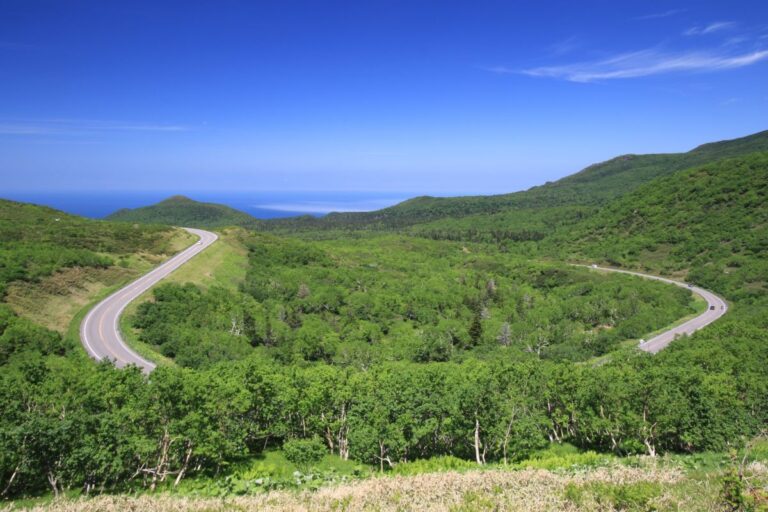
Niseko Panorama Line
Route Overview The Niseko Panorama Line (part of Hokkaido Route 66: Iwanai–Tōya Line) is a scenic mountain route that stretches approximately 30 km, connecting Iwanai on the Sea of Japan coast to Kutchan and Niseko.The road offers dramatic views as…