Tag Under 10km

Sakurajima Observatory Road

Route Overview The Sakurajima Observatory Road is a scenic route approximately 7 km long, located on the southwestern side of Sakurajima in Kagoshima Prefecture. A typical route starts from the Michi-no-Eki Tarumizu Hamabira, goes up to the Yunohira Observatory, and…
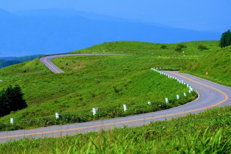
Akiyoshidai Skyline

The Akiyoshidai Skyline is a scenic road running through Akiyoshidai Quasi-National Park in Mine City, Yamaguchi Prefecture.Officially part of Yamaguchi Prefectural Route 242, the route stretches around 10 km from the entrance of Akiyoshido Cave to the central plateau, including…

Yashima Driveway

Route Overview The Kamikōchi Norikura Forest Road (officially: Nagawagawa–Azumi Line and Kamikōchi Norikura Super Forest Road) is a scenic mountain route in Nagano Prefecture, stretching approximately 35.1 km from Nagawa Onsen (Kurokawado) to Azumi (near the Kamikōchi entrance at Nakanoyu).…

Muroto Skyline

Route Overview The Muroto Skyline is a scenic road in Muroto City, Kochi Prefecture, about 10 km long.It starts from National Route 55 and climbs into the hills near Cape Muroto, reaching an observatory at around 250 meters above sea…

Kawarakei Road

Route Overview Kaouchi Valley Road (Kaouchidani Road) is a scenic route about 10 km long.It runs from Nabari City in Mie Prefecture to Soni Village in Nara Prefecture.The road goes through Kaouchi Valley, a beautiful area with tall cliffs and…

Nita Pass Loop Road

Route Overview The Nita Pass Loop Road is a scenic mountain drive in Unzen City, Nagasaki Prefecture, located within Unzen-Amakusa National Park. This approximately 10 km loop connects Unzen Onsen with the Nita Pass area, offering panoramic views of Mt.…

Sasagawa Nagare

Route Overview Sasagawa Nagare is a scenic 11 km stretch of coastal road located in Murakami City, Niigata Prefecture. It’s part of National Route 345 and offers stunning views of the Sea of Japan, with dramatic rock formations and clear…

Shiriyazaki Road

Route Overview Shiriya Cape Road is a scenic route leading to Shiriya Cape, located at the eastern tip of the Shimokita Peninsula in Aomori Prefecture. It forms part of Aomori Prefectural Route 6 (Mutsu–Shiriya Line) and stretches about 25 km…

Tsugaru Iwaki Skyline

Route Overview The Tsugaru Iwaki Skyline is a toll mountain road in Aomori Prefecture that climbs from Hirosaki City to the 8th station of Mt. Iwaki. Stretching about 9.3 km, the road features 69 sharp curves that twist dramatically up…

Kampu Panorama Line

Route Overview The Kanpuzan Panorama Line is a scenic driving and touring route that circles the summit of Mount Kanpuzan in Oga City, Akita Prefecture. With an elevation of 355 meters, the road offers 360-degree panoramic views. On clear days,…