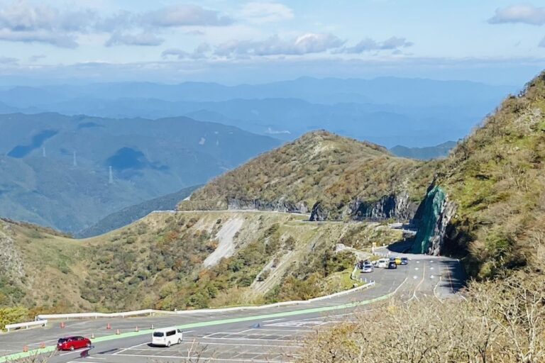
Nomugi Kaido

Route Overview Nomugi Kaidō is a scenic mountain road connecting Takayama City in Gifu Prefecture with Matsumoto City in Nagano Prefecture.Historically, it was known as the “Road of Life,” used by women from the Hida region to travel to silk…
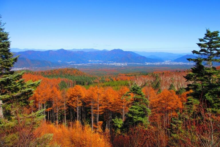
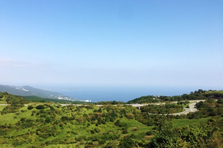
Fujisan Subaru Line

The Fuji Subaru Line is a toll road that connects Fujiyoshida City in Yamanashi Prefecture to the 5th Station of Mt. Fuji, located at around 2,305 meters above sea level.The road is about 30 km long and climbs roughly 1,300…

Izu Skyline

The Izu Skyline is a scenic toll road stretching approximately 40.6 km, connecting Atami Pass to Amagi Plateau in Shizuoka Prefecture.It runs along the ridgeline of the Izu Peninsula, with an elevation ranging from 600 to 1,000 meters.The route offers…

Nishiizu Skyline

Route Overview The Nishi-Izu Skyline is a scenic mountain road in Shizuoka Prefecture, stretching about 10.8 km from near Mt. Daruma (Darumayama) through Heda Pass to Nishina Pass.Famous for its breathtaking views of Mt. Fuji, Suruga Bay, and the surrounding…

Chausuyama Highland Road

Route Overview The Chausuyama Kogen Road is a scenic route in Toyone Village, Aichi Prefecture.It connects National Route 151 to Chausuyama Highland and is about 12 km long.This mountain road climbs to around 1,200 meters above sea level.It is one…

Kawarakei Road

Route Overview Kaouchi Valley Road (Kaouchidani Road) is a scenic route about 10 km long.It runs from Nabari City in Mie Prefecture to Soni Village in Nara Prefecture.The road goes through Kaouchi Valley, a beautiful area with tall cliffs and…

Hieizan Driveway

Route Overview The Hieizan Driveway is a toll road connecting Otsu City in Shiga and Sakyo Ward in Kyoto.It takes you from the base to near the top of Mt. Hiei.The main road is about 8.1 km long, starting at…

Ibukiyama Driveway

The Ibukiyama Driveway is a scenic toll road stretching about 17 km from Maibara City in Shiga Prefecture up to the 9th Station near the summit of Mount Ibuki.It climbs rapidly from the mountain’s lower slopes to around 1,260 meters…

Arashiyama–Takao parkway

Route Overview The Arashiyama–Takao Parkway is a toll road in Kyoto City.It connects the popular tourist area Arashiyama with the nature-rich area Takao.The total length is about 10.7 km.The road goes through forests, and there are spots with great views…

Fujisan Skyline

Route Overview The Mt. Fuji Skyline is a scenic road in Shizuoka Prefecture that climbs the southwestern slope of Mt. Fuji, connecting Susono City to Fujinomiya City. The road reaches an altitude of over 2,400 meters at the Fujinomiya 5th…