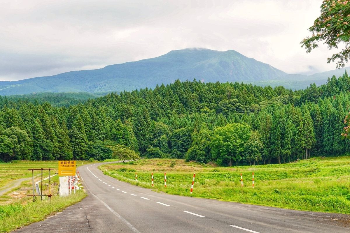
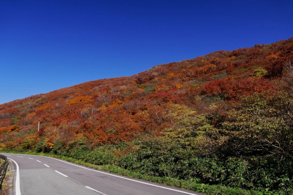
The Chokai Blue Line is a scenic mountain road connecting Nikaho City in Akita Prefecture with Yuza Town in Yamagata Prefecture. Stretching about 34 km, it climbs to the Hokodate Observatory at around 1,100 meters above sea level, offering stunning views of Mt. Chokai, the Sea of Japan, and the Shonai Plain.
Also known as the “Fuji of Dewa,” Mt. Chokai provides a breathtaking backdrop along this dynamic winding route—making it a favorite among riders and road trippers.
Recommended Drive
From Nikaho (Kisakata side) → Hokodate Observatory → To Yuza (Fukura side)
Approaching from the Akita side, you ascend quickly from sea level, enjoying an exciting and scenic climb.
The road is well-paved and relatively wide, with multiple viewpoints to stop and enjoy the panorama.
On clear days, you can see the sunset over the Sea of Japan or even Sado Island from the observatory.
Road Conditions & Safety
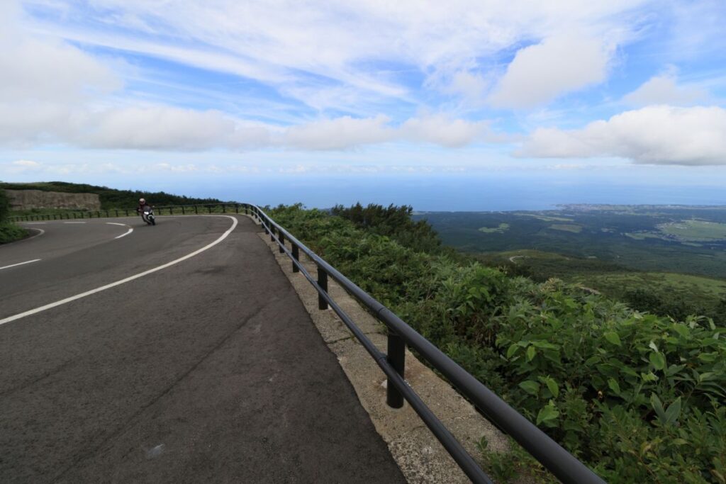
Fully paved and two-lane, in excellent condition.
Even in summer, temperatures drop at higher elevations—bring a windbreaker.
Watch for fallen leaves in autumn.
Closed in winter due to snow (usually early November to late April).
Places to Visit
Hokodate Observatory: At 1,100 m, this is the best spot for panoramic views. A rest area with shops and restrooms is available.
Chokaisan Omonoimi Shrine (Remote Worship Site): A sacred place near the observatory, where people pray toward the summit.
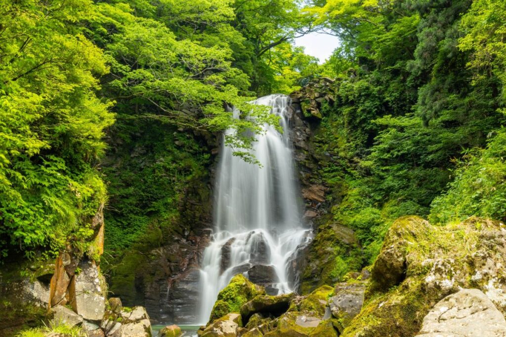
Naso no Shirataki Falls (Akita side): A beautiful forest waterfall fed by Mt. Chokai’s clear waters.
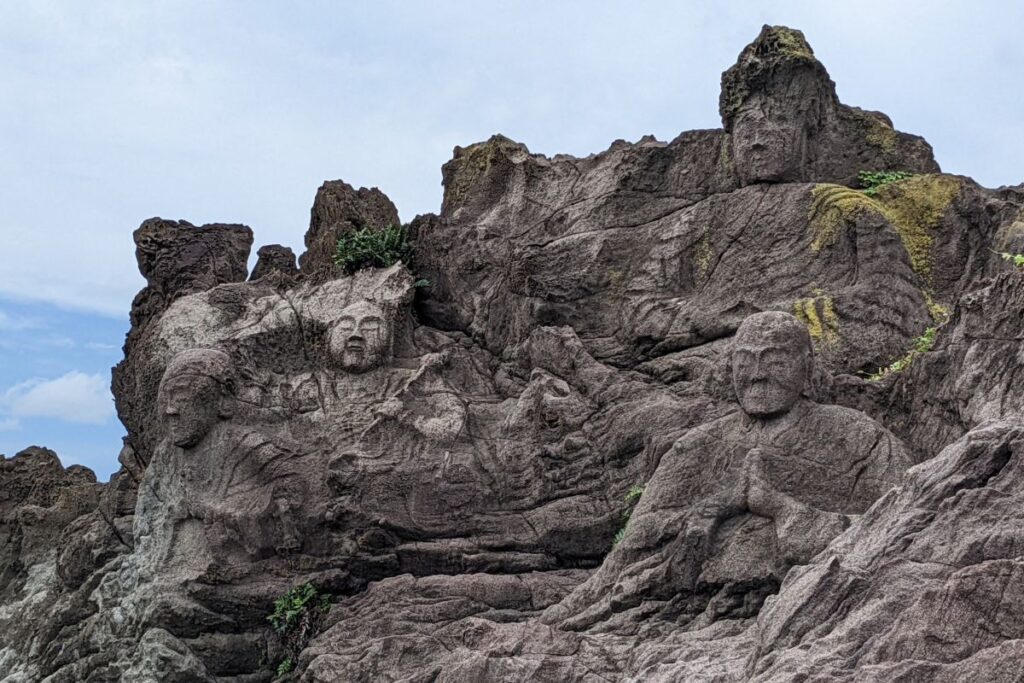
Juroku Rakan Iwa (Yamagata side): Unique seaside rock formations carved into statues—a fun detour along the coast.
Local Food
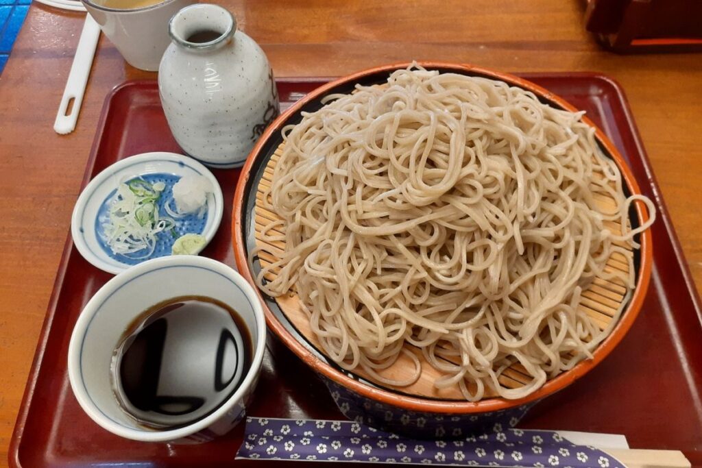
Soba and udon made with Mt. Chokai’s spring water
Rock oysters (in summer) and fresh seafood from Shonai coast
Try the Chokai Soft-Serve Ice Cream at the observatory
Best Season & Weather
Late May to mid-October is ideal
Spring: Snow walls and fresh greenery
Summer: Cool, refreshing mountain air
Autumn: Vivid fall colors cover the mountainsides
Touring Plan Example
Day Trip (From Akita City)
Akita → Nikaho → Chokai Blue Line → Hokodate → Yuza → Juroku Rakan Iwa → Return along the Sea of Japan (Approx. 6 hours)
Overnight Plan
Stay near Hokodate or in Yuza
Next day, continue south through the Shonai Plain toward Mt. Gassan or Mogami River areas